Uncategorized
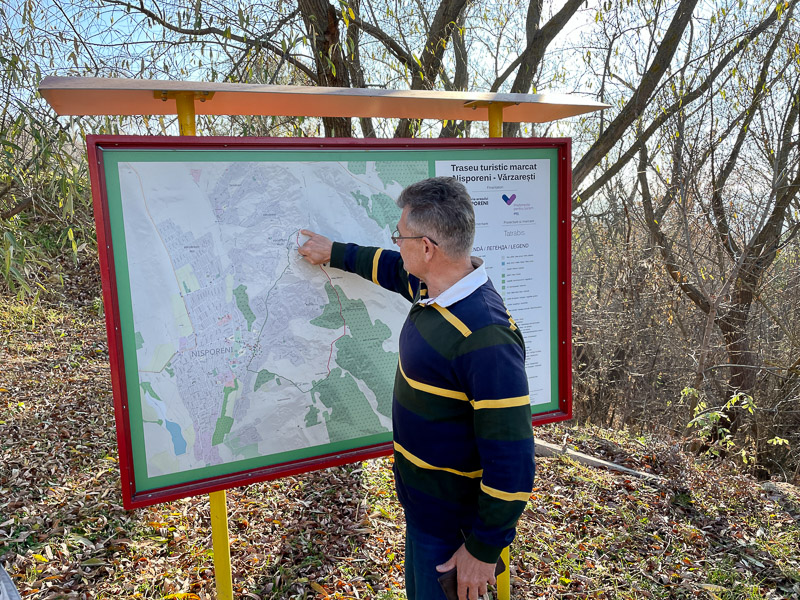
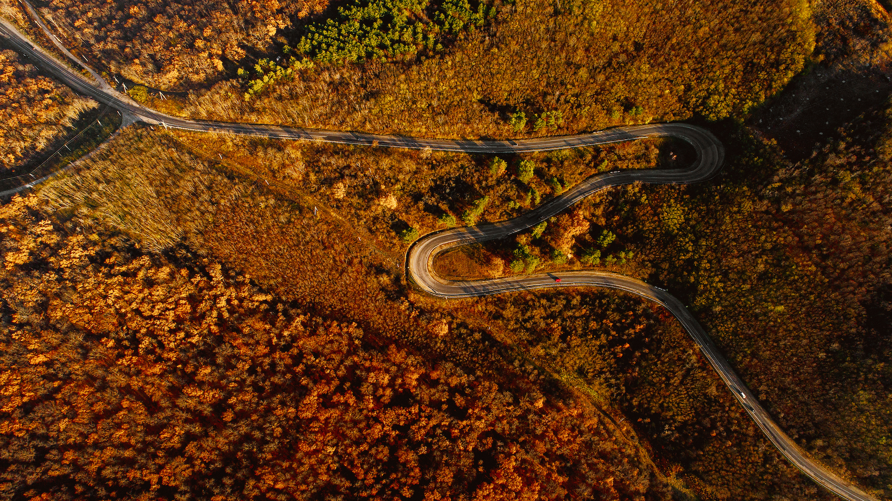
Central Moldova Hiking Trail: Nisporeni to Balanesti Hill (Highest Point in Moldova)
- Distance: 40 km
- Travel time: 2 - 12 hours
- Difficulty level: medium
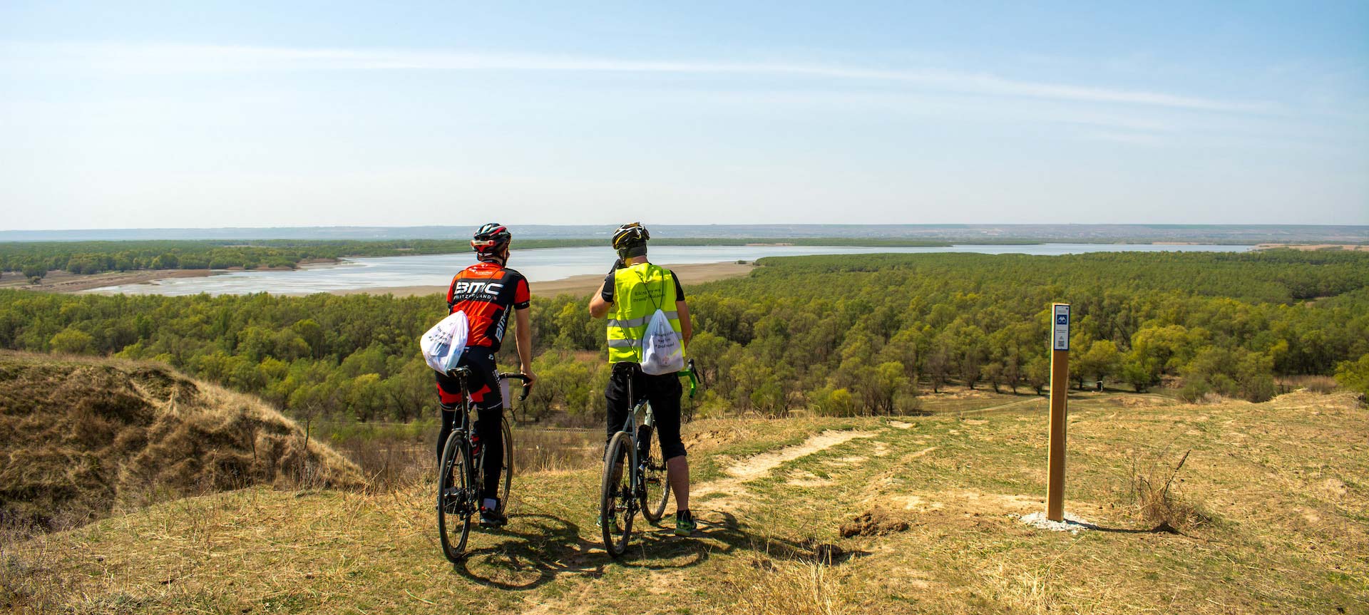
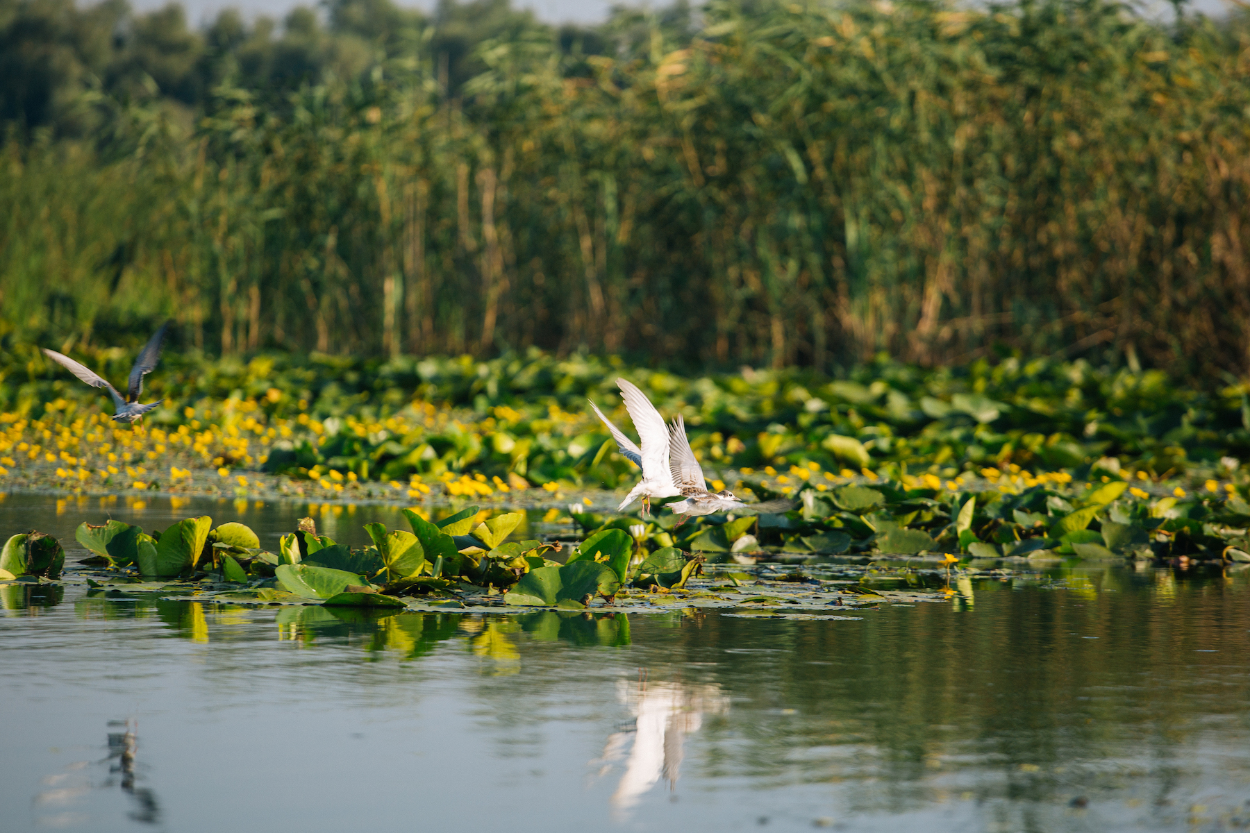
Southern Moldova Cycling Routes (C2-C5): Discover the Warmth of the South
- Distance: 173 km
- Travel time: 25 hours
- Difficulty level: easy / medium
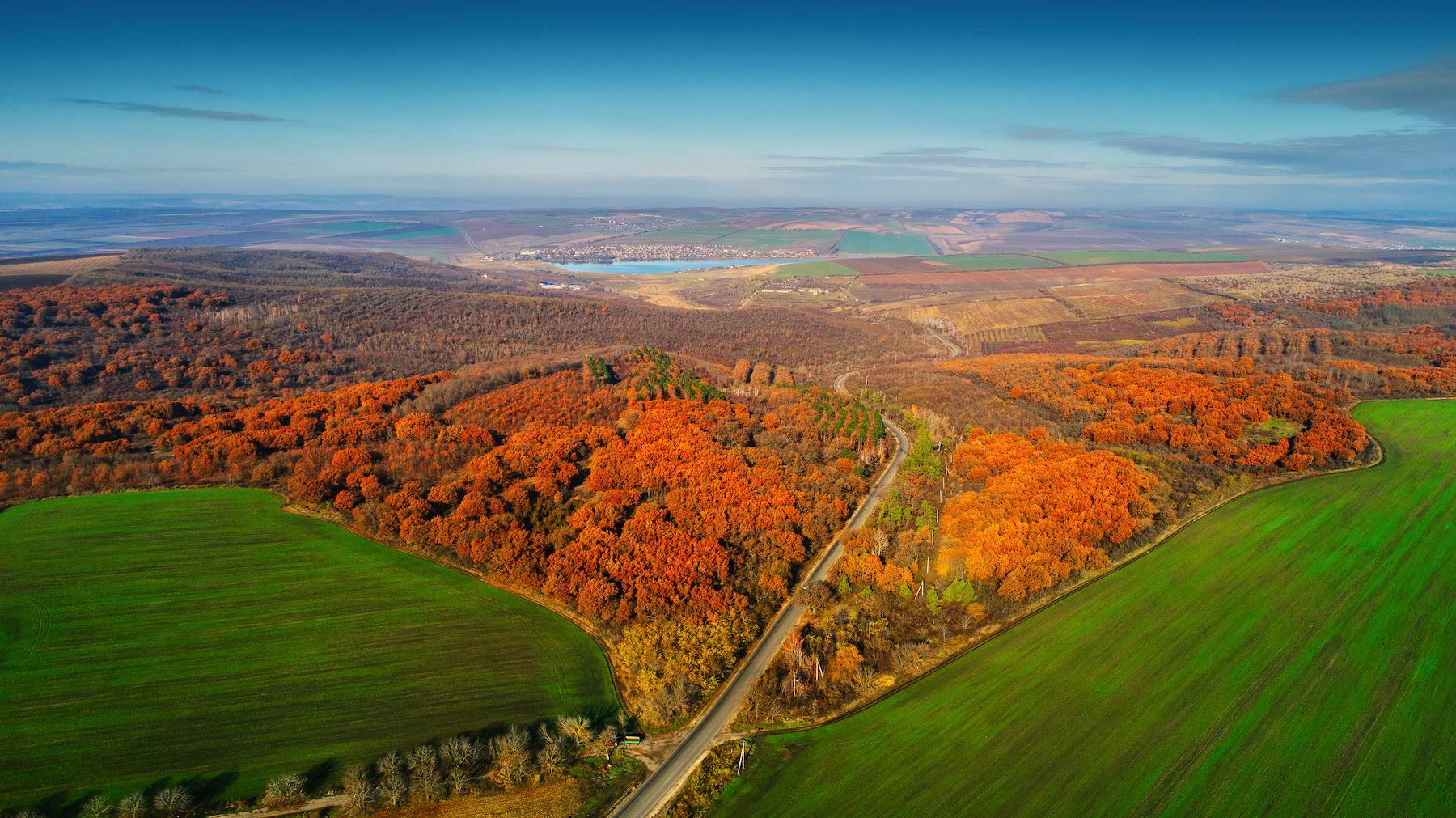
Itinerary to Explore Central and Northern Moldova: Vadul-Rascov and Socola
- Distance: approximately 260 km, up to 5 hours by car. Distance calculated connecting the main points of interest mentioned on the route.
Explore the South of Moldova: An Itinerary
- Distance: approximately 300 km, up to 6 hours by car. Distance calculated connecting the main points of interest mentioned on the route.
Explore Central Moldova: An Itinerary
- Distance: approximately 120 km, about 2 hours by car. Distance calculated connecting the main points of interest mentioned on the route.
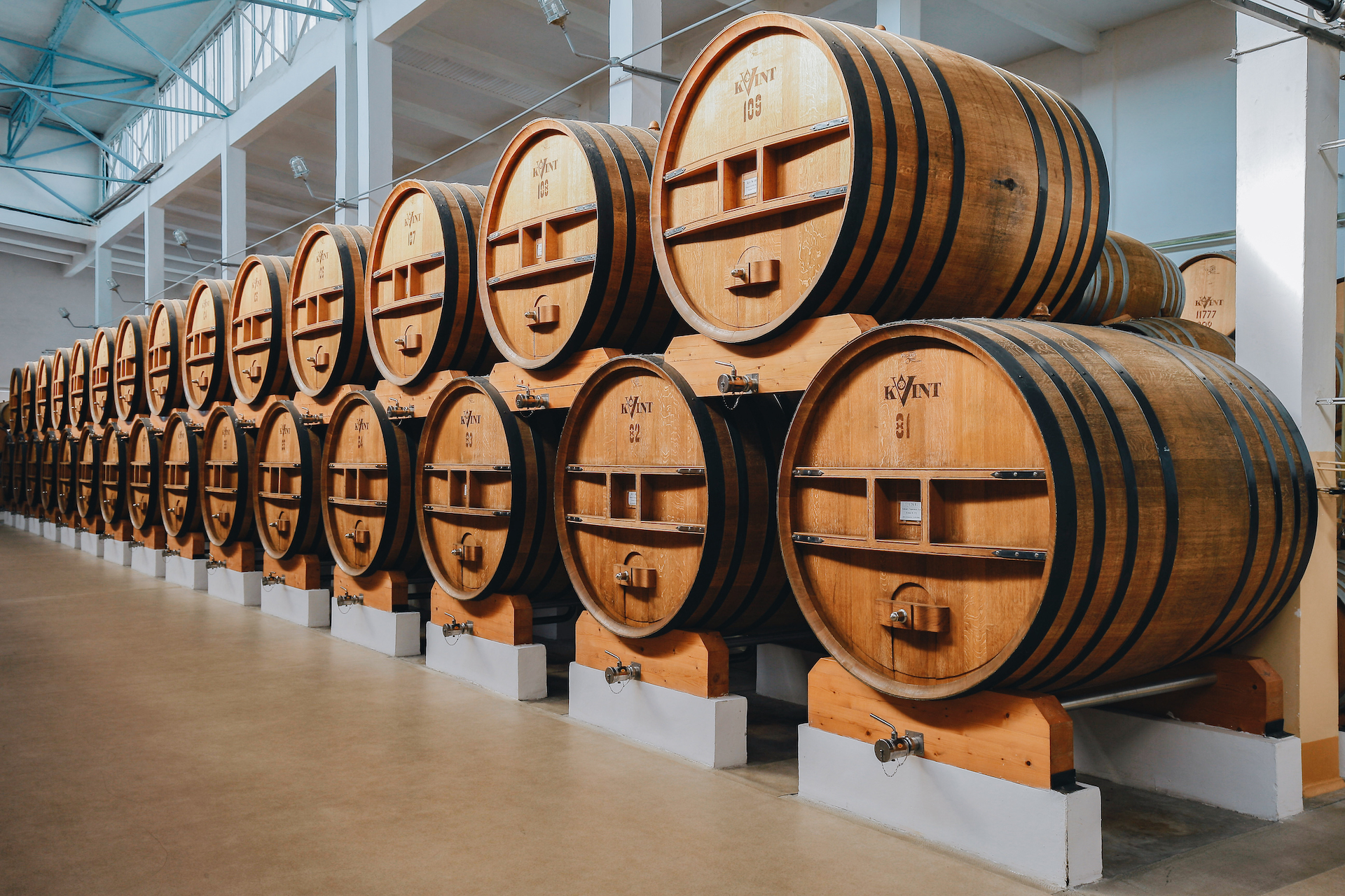
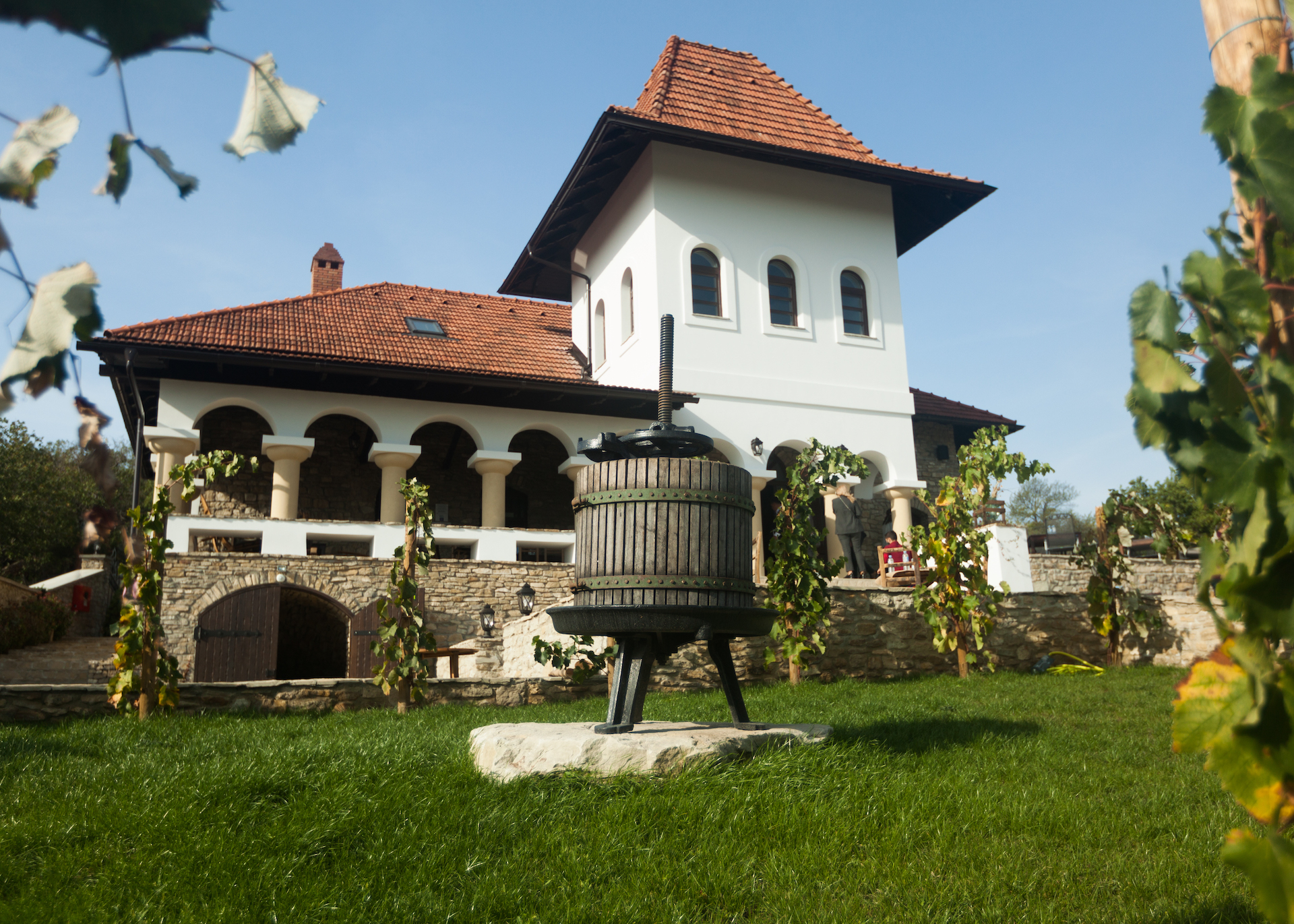
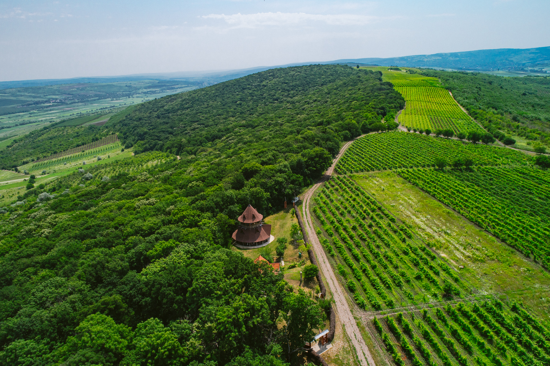
Valul lui Traian Geographical Indication Route
- Distance: approximately 400 km
- Travel time: 3 days
- Nr. of wineries: 8